
Key Stage 4 Geography
GCSE Geography River study
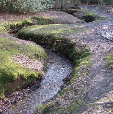
Loughton Brook, Loughton, Essex.
Full day course available September - April. (Note; water levels early in the season can be very low).
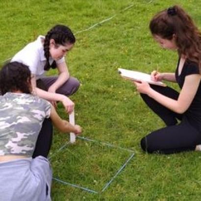
The form and function of a river is studied from its source in this investigation, including width, depth, velocity, land use, surface run off, sediment size and common fluvial formations such as slip off slopes, meanders and river cliffs. Students can investigate how and why drainage basin and channel characteristics influence flood risk for people and property along its length.
Curriculum Links
Edexcel B
Topic 4: The UK’s evolving physical landscape 4B: River processes and pressures.
Topic 6: Geographical investigations – including one physical fieldwork investigation
AQA
3.1.3.3 River landscapes in the UK
3.3.2 Section B: Fieldwork
OCR
Landscapes of the UK
1.1.2 There are a number of geomorphic processes which create distinctive landscapes.
1.1.3 Rivers create a range of landforms which change with distance from their source within a river basin.
1.1.5 Landscapes are dynamic and differ depending on their geology, climate and human activity.